In a world where even your coffee machine can connect to the internet, remote sensing satellites are the unsung heroes of modern technology. Floating high above the Earth, these high-tech marvels capture data that helps scientists, farmers, and even city planners make smarter decisions. Imagine having a bird’s-eye view of our planet, spotting everything from deforestation to crop health, all while sipping your morning brew.
Overview of Remote Sensing Satellites
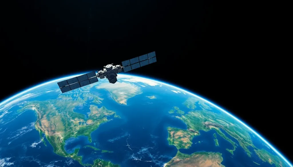
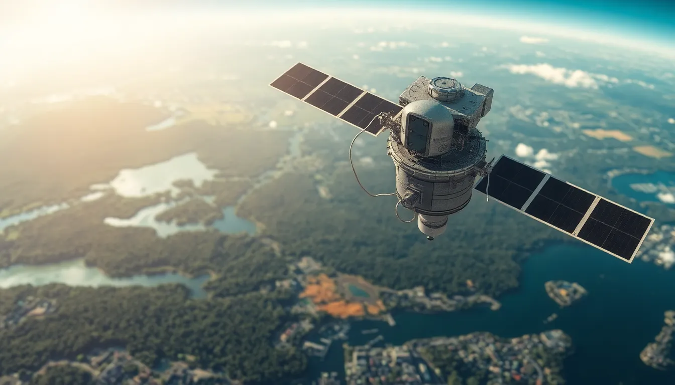
Remote sensing satellites play a crucial role in gathering data from Earth’s surface. These satellites operate in various orbits, including low Earth orbit (LEO) and geostationary orbit (GEO). LEO satellites, positioned a few hundred kilometers above the planet, capture high-resolution images useful for detailed analysis. GEO satellites, in contrast, maintain a fixed position relative to Earth, enabling continuous observation of specific areas.
Key functions of these satellites include land cover mapping, climate monitoring, and disaster management. Monitoring deforestation through satellite imagery offers insights into environmental changes and policy effectiveness. Agricultural sectors benefit from crop health assessments, enabling farmers to optimize yields through precise data.
Technology advancements enhance the capabilities of remote sensing satellites. High-resolution cameras paired with synthetic aperture radar (SAR) systems improve image quality and expand applications. SAR technology enables the analysis of terrain even in cloudy conditions, offering a significant advantage over optical sensors.
Numerous organizations deploy remote sensing satellites for various purposes. NASA and the European Space Agency (ESA) lead several prominent missions, providing valuable data for scientists and governments. Private companies also enter the field, launching satellites that contribute to commercial applications such as urban planning and resource management.
Data from remote sensing satellites aids in informed decision-making across sectors. The environmental insights gained from these satellites facilitate sustainable practices in industries like forestry and agriculture. Utilizing this data, policymakers can address critical issues, adapting strategies based on real-time observations. The versatility of remote sensing satellites solidifies their importance in today’s technology-dependent world.
Types of Remote Sensing Satellites
Remote sensing satellites come in two main types: active and passive. Each type serves distinct purposes in monitoring and analyzing Earth’s features.
Active Remote Sensing Satellites
Active remote sensing satellites emit their own signals, such as radar or laser pulses, to scan the Earth. These signals bounce back to the satellite, allowing it to capture detailed images regardless of weather conditions. Synthetic aperture radar (SAR) is a common technology used in active satellites. They play vital roles in applications like mapping land deformation and monitoring natural disasters. The information gathered aids in disaster response and infrastructure planning.
Passive Remote Sensing Satellites
Passive remote sensing satellites rely on sunlight or emitted thermal energy to capture images. These satellites detect natural radiation, offering insights into land cover, vegetation types, and water resources. They excel in applications like agricultural monitoring and climate studies, providing essential data for analysis. Instruments like multispectral and hyperspectral sensors are frequently utilized to gather detailed imagery. The data collected supports environmental management and policy-making, making passive satellites crucial for sustainable practices.
Applications of Remote Sensing Satellites
Remote sensing satellites play a crucial role in gathering data for various applications across sectors. They support critical assessments in environmental monitoring, agriculture, and urban planning.
Environmental Monitoring
Remote sensing satellites facilitate observation of environmental changes. They can assess natural disasters, such as wildfires and floods, by providing timely data for disaster response. Monitoring air and water quality occurs through satellite sensors that capture multispectral images. Deforestation detection is another vital task, as satellites track changes in forest cover over time. Furthermore, they contribute to climate change studies by supplying data on greenhouse gas emissions. Organizations utilize this data for policy-making and planning.
Agricultural Assessment
Remote sensing satellites enhance agricultural productivity through detailed assessments. They examine crop health by detecting variations in vegetation indices. This data assists farmers in making informed decisions about irrigation and fertilization. Using advanced sensors, satellites can monitor soil moisture levels, optimizing resource use in farming practices. Additionally, remote sensing enables early pest and disease detection, allowing for timely interventions. By supporting precision agriculture, these satellites fuel sustainable practices, improving yield quality and quantity.
Urban Planning
Remote sensing satellites serve essential functions in urban planning. They gather data on land use and infrastructure development, providing crucial insights for city planners. Satellite imagery assists in tracking urban sprawl and population growth patterns over time. Moreover, these satellites support transportation planning by assessing traffic congestion and accessibility. Planners use this information to optimize public transit systems and enhance road networks. Additionally, remote sensing helps in environmental impact assessments, ensuring sustainable urban development.
Advantages of Remote Sensing Satellites
Remote sensing satellites offer numerous advantages across various applications. High-resolution imaging enables detailed analysis of Earth’s surface features. This capability is essential for environmental monitoring, where tracking deforestation and assessing natural disasters becomes possible.
In agriculture, these satellites improve productivity by providing crucial insights into crop health. Monitoring soil moisture through satellite data allows farmers to optimize irrigation, equating to higher yields and sustainable practices.
Rapid data collection covers extensive areas in a short time. This efficiency proves vital during emergencies, where satellite imagery aids in quick response efforts. Continuous observation also ensures that changes in urban planning or natural resources do not go unnoticed.
Satellites equipped with active sensors enhance imaging capabilities under challenging weather conditions. This feature is particularly important in regions prone to cloud cover, allowing for reliable monitoring regardless of local weather.
Diverse applications stretch into climate studies, where satellite data supports research in understanding climate change patterns. Satellite imagery contributes to formulating policies aimed at mitigating environmental impacts.
Accessibility to real-time data empowers decision-makers in various sectors. Engaging stakeholders has never been easier, as satellite images provide a common ground for discussions. Collaborative efforts flourish when everyone involved relies on accurate, up-to-date information.
Remote sensing satellites significantly bolster various fields, enhancing operations and contributing to sustainable development goals. Their multifaceted advantages play a critical role in shaping policies and practices that address global challenges.
Challenges and Limitations
Remote sensing satellites face several challenges that can impact data accuracy and availability. Cloud cover often obstructs imaging, especially for passive sensors that rely on sunlight. Integration of data from multiple sources can introduce inconsistencies, complicating analysis for decision-makers.
Signal interference represents another significant hurdle. This interference can disrupt communication with satellites, leading to loss of valuable data. Latency in data transmission affects time-sensitive applications like disaster response and agriculture monitoring.
Additionally, satellite lifespan plays a crucial role in operational reliability. Satellites degrade over time, limiting their ability to collect high-quality data. Replacement and maintenance issues can lead to gaps in data coverage, particularly in critical regions.
Cost considerations also limit the deployment of remote sensing satellites. Funding constraints affect the development and launch of new satellites, thus impacting data availability across sectors. Smaller organizations often struggle to access the high-resolution images provided by advanced satellites.
Moreover, regulatory and policy issues can restrict data sharing among agencies and organizations. Cooperation among stakeholders enhances data utility, but differing regulations complicate collaborative efforts. Understanding and navigating these regulatory landscapes presents an ongoing challenge for effective usage.
Finally, evolving technology constantly shifts the landscape for remote sensing satellites. Heavier data processing requirements necessitate advanced computing resources, which may not be widely accessible. Balancing technological advancements with operational capabilities remains crucial for future developments in remote sensing.
Remote sensing satellites are indispensable tools in understanding and managing our planet. Their ability to provide real-time data empowers various sectors to make informed decisions. As technology continues to evolve, these satellites will become even more crucial in addressing pressing global challenges.
Despite the obstacles they face, such as data accuracy and operational limitations, the benefits they offer far outweigh the drawbacks. The ongoing advancements in satellite technology promise to enhance data collection and analysis capabilities, ensuring that stakeholders can respond effectively to environmental and societal needs. The future of remote sensing satellites looks promising, paving the way for sustainable development and informed policy-making.